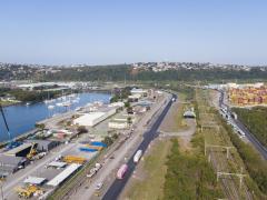
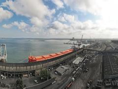
In the face of escalating threats and risks at sea, the South African Maritime Safety Authority has installed sophisticated navigation satellite systems or Long Range Identification and Tracking (LRIT) to monitor and track vessels south of the equator, executive head of Samsa’s Centre for Sea Watch & Response (CSWR), Karl Otto, said last week. Addressing an international conference hosted by the Responsible Packaging Management Association of South Africa in Durban, Otto said the introduction of the LRIT followed concerns over the safety of seafarers and the standard of ships within South African waters. It also serves as a mechanism to prevent piracy. The LRIT has the capacity to identify and track vessels up to 1 000 nautical miles (1 850 kilometres) from our coastline as well as South Africa-flagged (South African-registered) vessels anywhere in the world. “This is a revolutionary development in the security of our seas. Until now we had very limited capacity to identify, track and monitor shipping beyond the horizon. Many ships have sailed our waters without our knowledge. Some may even have polluted our waters unbeknown to us,” said Otto. “Until now we have not been able to track vessels that may have carried toxic and hazardous cargo to South African ports or were transiting our waters to foreign destinations.” Samsa recently created an ‘Office for Dangerous Goods’ to ensure compliance, and to ensure that the movement of cargo is safe and all possibilities of damage are avoided. “We need to ensure the pressures of making profit do not force companies to compromise on safety.” While to date the movement of cargo along the South African coast has not been affected by piracy, the LRIT navigation system is in place to monitor our waters. Samsa, through the International Maritime Organisation, has extended an invitation to other African countries and member states to utilise the equipment.
Samsa installs new surveillance tool to track vessels
Comments | 0
© Now Media. This content is protected by copyright and may not be adapted or republished. If you would like to discuss cooperation opportunities, please contact: editor@freightnews.co.za.