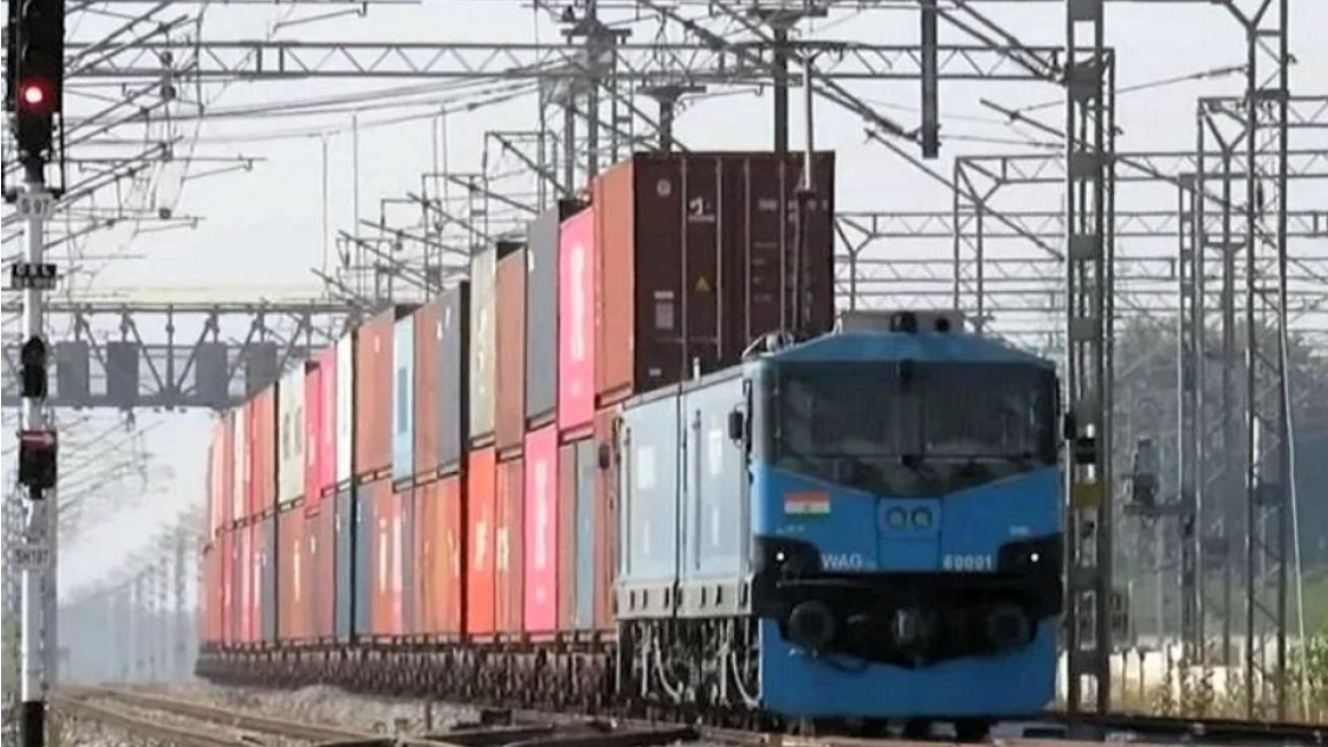
Shippers and transporters are going to have more access to routing alternatives in the Southern African Development Community (SADC) region through a database of information on the logistical infrastructure within the region. According to Albert Rouvray of Planet Consortium, the initial focus is on the “hard” infrastructure along the nine corridors in the region, making up 50000km of roads, and the southern leg of the Trans African Highway. Planet Consortium is developing the database on behalf of SADC. Much of the network is in poor condition, with only 70% being paved. The SADC Regional Trunk Road Network (RTRN) adds another 62000km of roads. Most of these roads are paved, but are in various states of condition. Because of the complexity of this network and its size it is unattractive to funders and investors in its present form, and a decision was therefore taken to focus on the corridors. Rouvray was speaking at an SADC workshop on the database held in Johannesburg in July. Whilst the current SADC project is to cover SADC countries, the database is intended for all sectors across the whole of Africa. It could easily be extended to Comesa and EAC countries, and this would be done in the future with the support of the African Union. Whilst there is some trade facilitation information in the database – for example, average annual daily traffic and border transit times – it is intended to be only for infrastructure due time and cost restraints. Operational information would be added at a later date. Information in the database will be used by shippers, cargo owners and logistics companies, as well as by government for planning purposes. In its present form it is not, however, suitable for day-to-day route planning, he said.
Regional infrastructure database will provide routing options
Comments | 0