In keeping with yesterday’s storm warning from the South African Weather Service (Saws) following the arrival of a cold front in the Cape, with a secondary frontal system in tow, the Port of Port Elizabeth has issued a “severe weather warning” it says will last until Wednesday afternoon.
Transnet National Ports Authority (TNPA) told Freight News that the port’s harbour master had issued the warning due to a strong westerly wind with gusts of 35-45 knots (64-83+ kmp/h) that hit the city yesterday morning.
It added that very rough seas with wave heights of three to five metres were expected closer to the shore, reaching six metres in the open sea.
The conditions are only expected to abate from tomorrow morning.
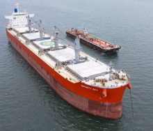
“All vessels in port are to ensure, as a minimum, that the engines remain on immediate standby, that adequate and effective mooring lines are deployed, anchors are prepared, hatch covers replaced, cargo secured and that they take any other steps deemed necessary to mitigate the impacts of the forecast severe weather,” the master said.
“In addition, terminal operators are to ensure that all cargo working is stopped and gantry cranes and cargo operating equipment secured and safely stowed.”
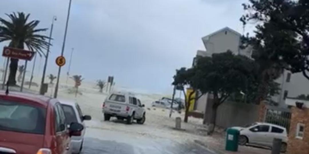
This morning conditions at the Port of Cape Town also seemed extreme, and sources said no berthing was allowed.
In video footage shared with Freight News via social media, swells can be seen crashing over the peer at Mouille Point, with strong gusts fanning sea foam into the streets.
Saws has also warned that extremely low temperatures can be expected over the rest of the country as the cold weather system makes its way east and north-east over the interior. Sub-zero temperatures of -6 are predicted for areas in the Free State and North West province.
- WATCH: Rough seas at Mouille Point earlier this morning - Vessels batten down the hatches as severe weather hits PE.